Picturesque Zion National Park


The night before we left St. George for Zion National Park a very scary wind burst roared around our motorhome, sending it rocking. I was sure it was a tornado and wasn’t able to get to sleep until it had passed. Fortunately it lasted only ten or fifteen minutes.

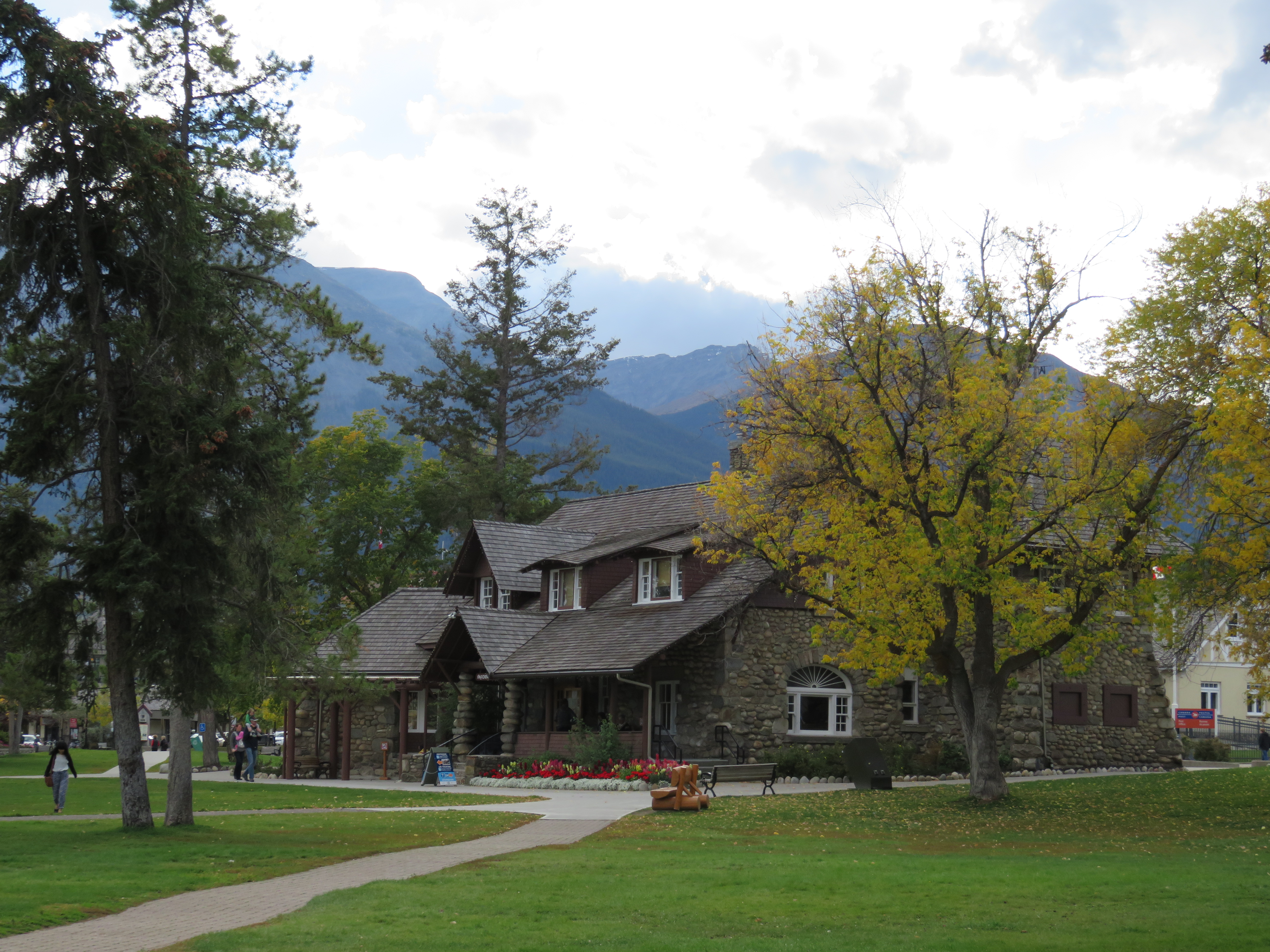
We were aiming to reach Zion before the nine o’clock rush, but didn’t make it. We found a parking lot downtown and hopped onto the free shuttle bus that took us to the Visitors Centre on the mountain. After paying the entrance fee ($35 for the two of us) and looking at the map to see what hiking options were available, we chose to take the park shuttle bus to the end of the line and come back down jumping off at the trails that sounded the most interesting and most easily accessible for a couple of aging seniors.

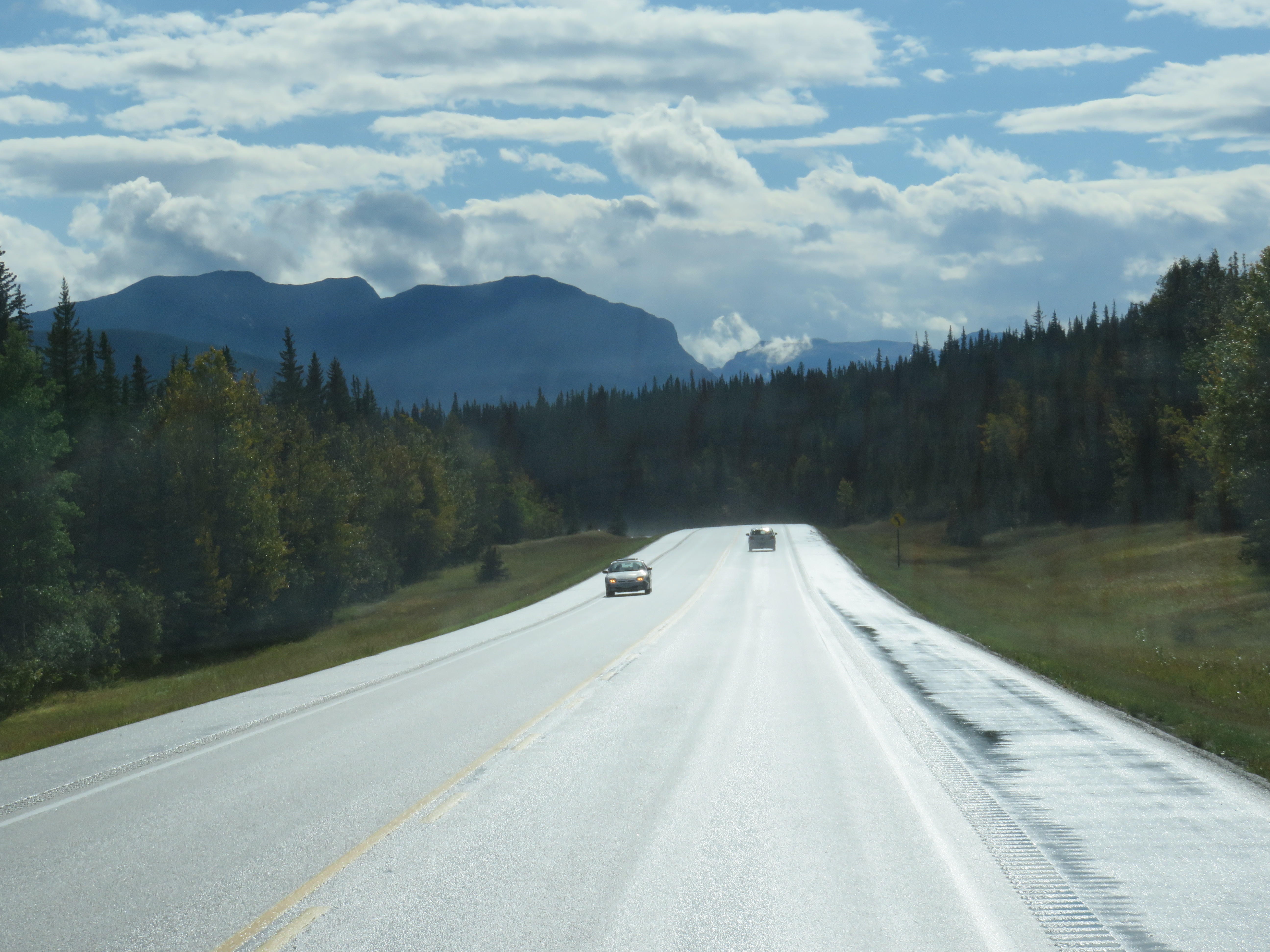
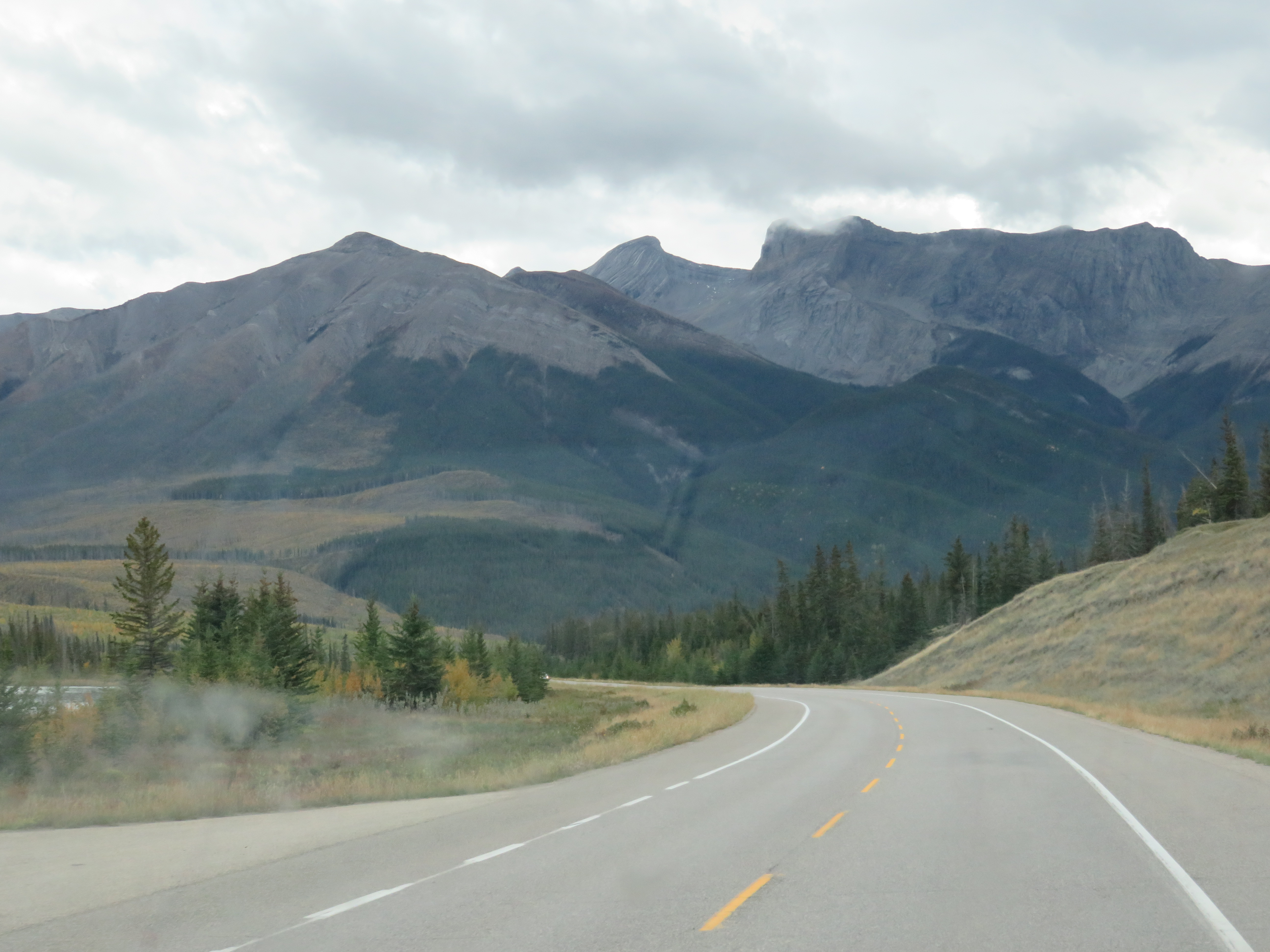
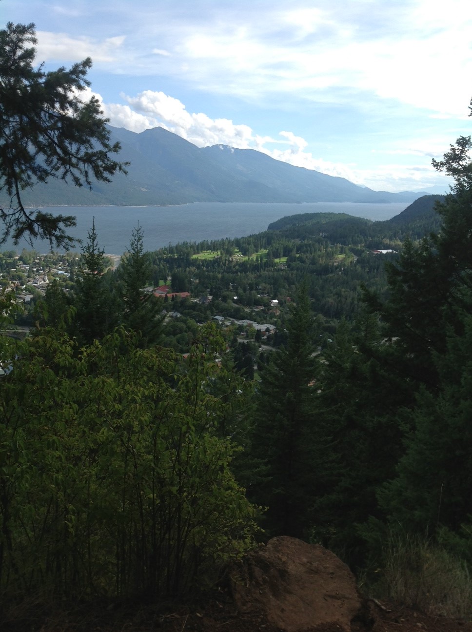
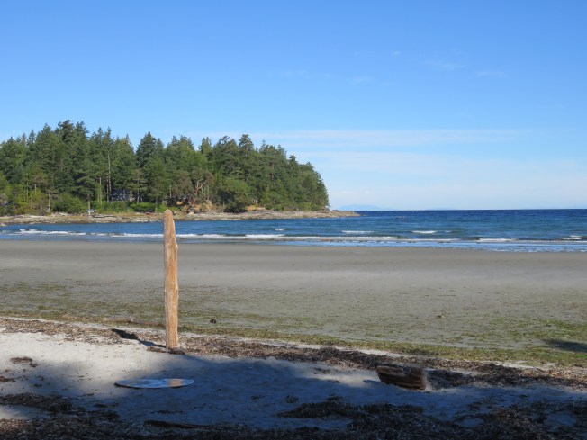
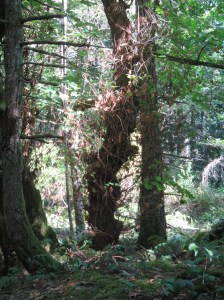
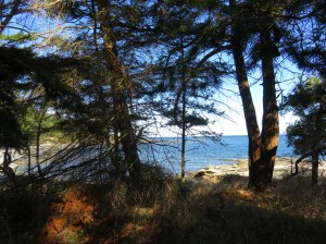
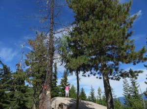
Our first views as we made our way to the top

Of the three we chose, we managed to get through only two. Apparently I stop too many times to take pictures!

But there is no better way to describe the experience than with pictures, and even then my photography won’t convey all the senses that the sites stimulated. But I’m going to try.

The first trail we took was to the Lower Emerald Pool.

Interesting rock formations and colours along the trail

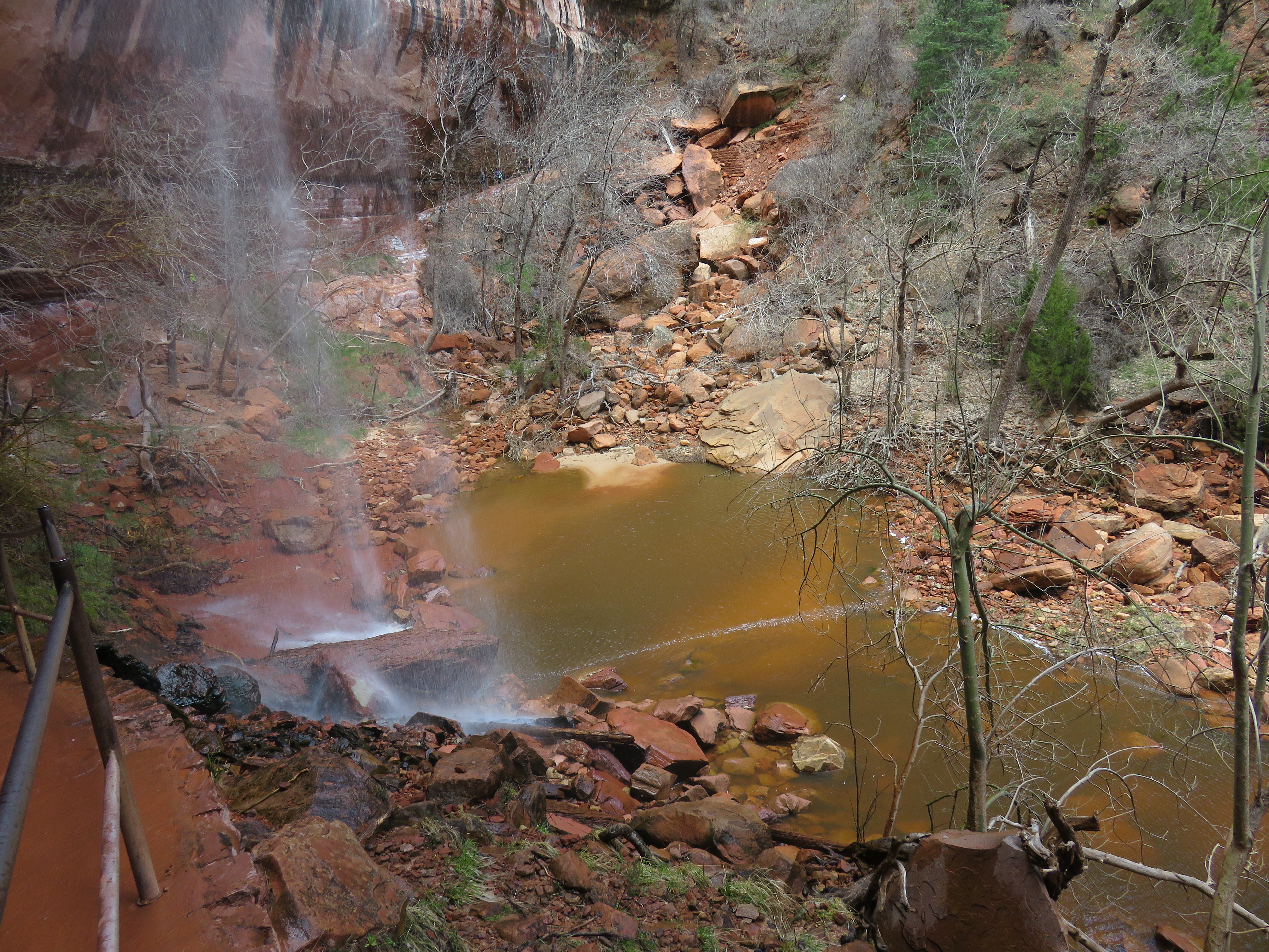
This trail normally continues to Upper Emerald Pool, but it was closed off due to a recent rock slide.

Centre left is where the rock slide blocked the trail to Upper Emerald Pool

By the time we were back from that hike we were tired and hungry. We took the shuttle to the Zion Lodge, for sustenance.

When we were walking toward our next trail choice, The Riverside Walk,  I saw a man coming our way who was dressed just like Jim – Tilley hat, blue shirt, dark sweater – and I commented about it. As he walked by we heard him say, “Jim?’

We couldn’t believe that it was someone we knew, a member of Jim’s former Bike Club from home, 2500 miles away! He and his wife and brother-in-law were there on a bus tour.
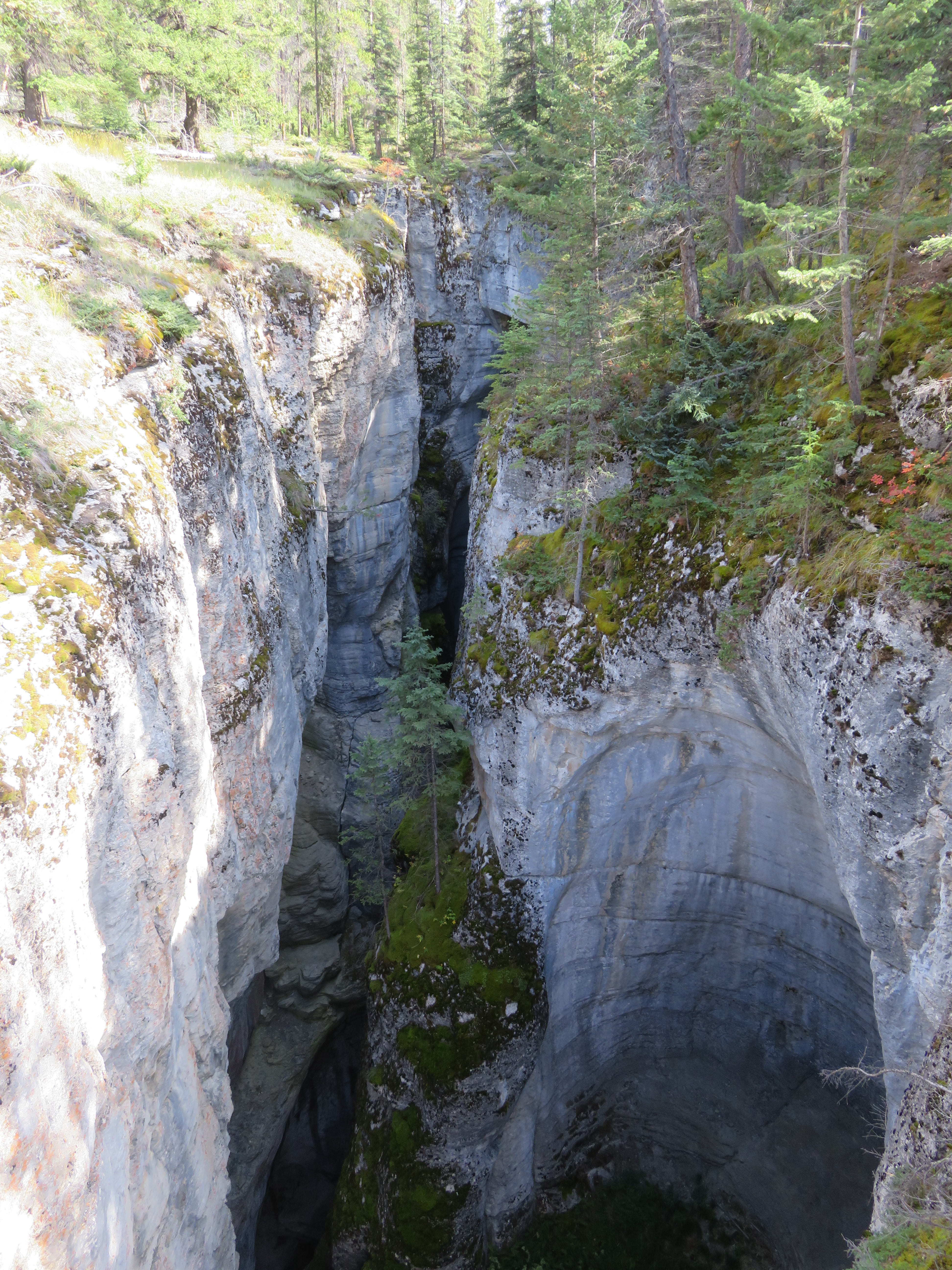
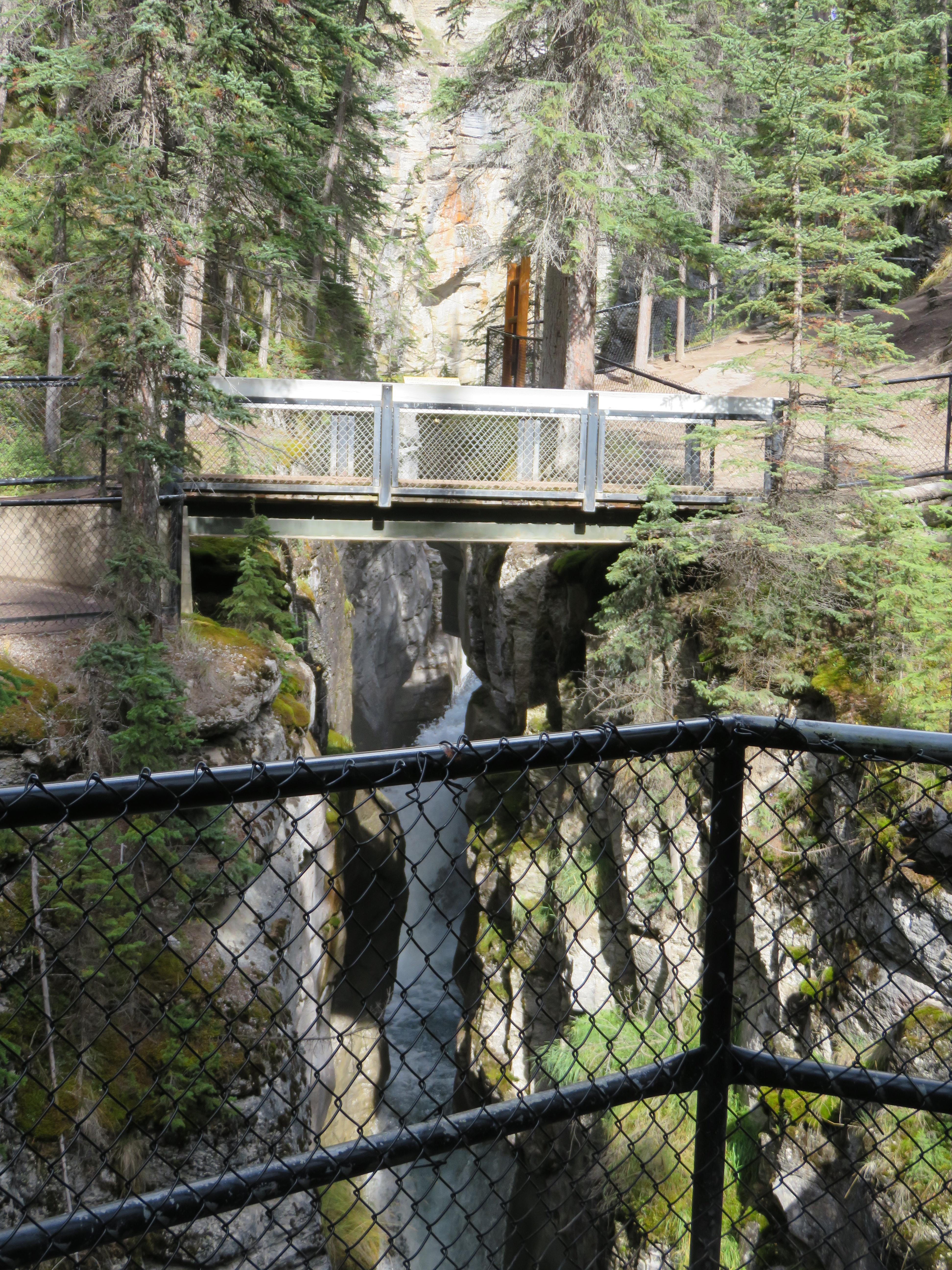
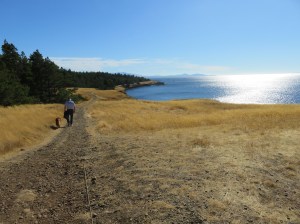
The Riverside Walk

These well-fed little guys were everywhere and completely unafraid

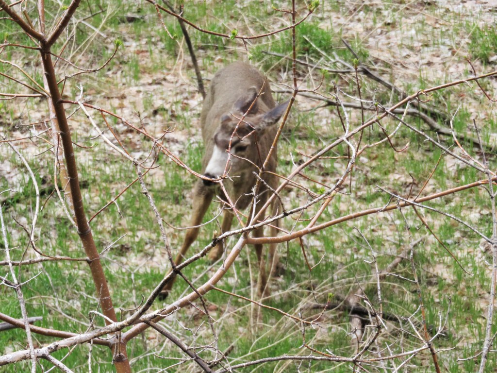
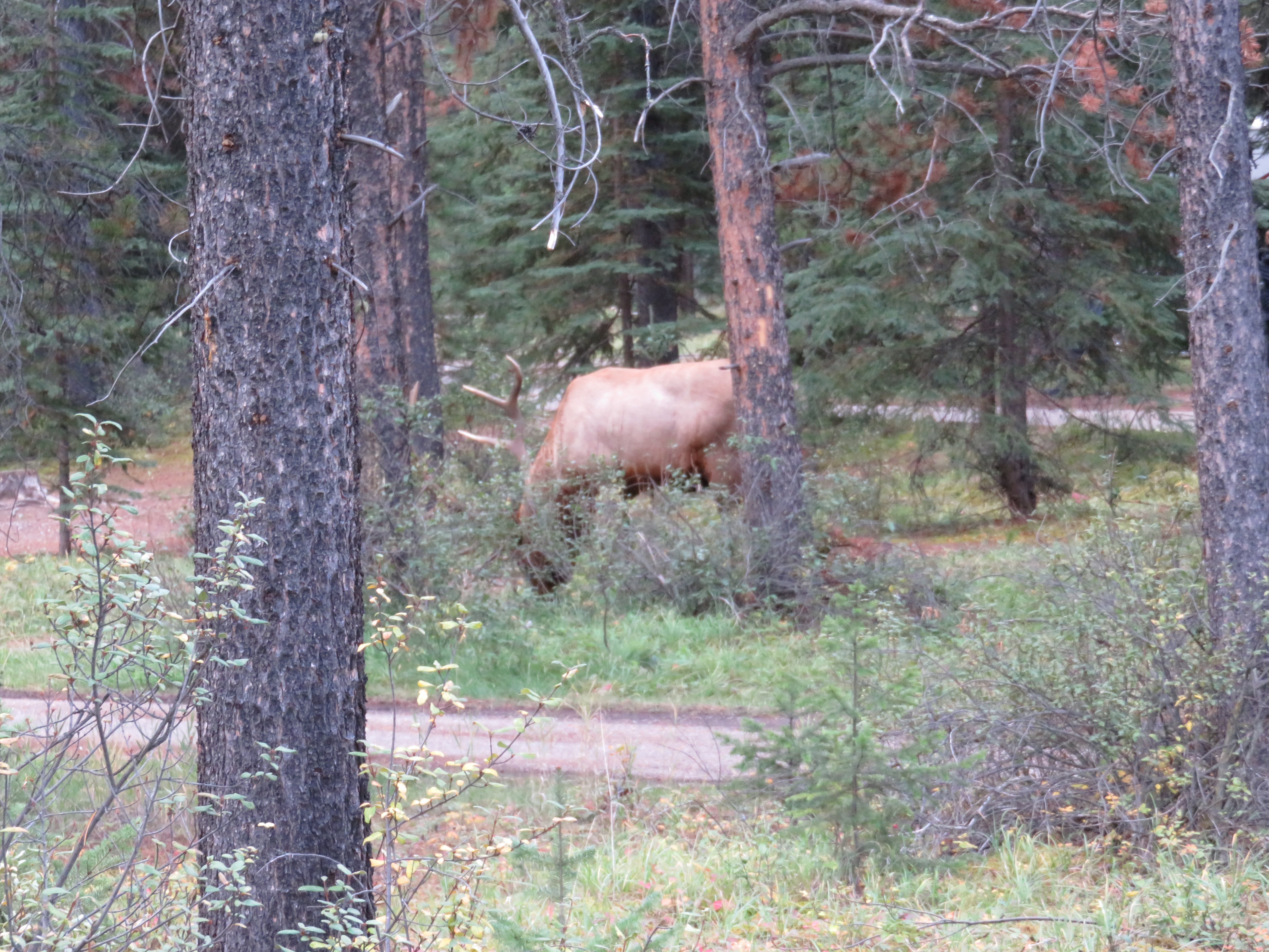
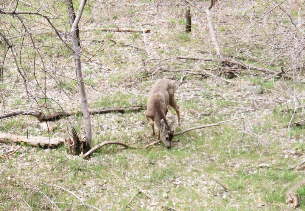
These mule deer were grazing beside the pathway

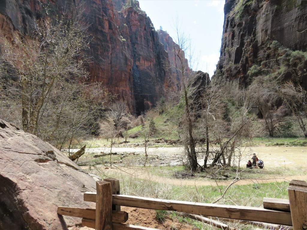
We had seen a sign telling us that “The Narrows was closed due to flooding, but when we got to the end of the path we were on, we figured we were there and it must have re-opened. But when Jim joined others on the beach area, he was able to take some pictures of what was really the flooded “Narrows.”

Before we knew it, it was 4:00 and we were done. We had planned to stay in St. George for the night again, and then drive to Bryce Canyon in the morning, but for a couple of reasons we opted to just find a place to dry-camp in the Utah desert and drive straight to Salt Lake City the next day, where we would get the motorhome checked out again (it was still missing) and attend a Ukulele Workshop and Concert on Saturday.

Advertisement

Adventures in British Columbia, Part Four – Hornby Island


On Tuesday, September 22nd my son-in-law Frank dropped me off at the Horseshoe Bay Ferry Terminal where I bought my ticket to Hornby Island at the low price of $17.00. I was there in plenty of time, but apparently my brain hadn’t quite woken up yet. I heard the ticket agent tell me to take the stairs up and then follow the red line to Waiting Area A, but the red line part didn’t register. I looked for signs and when I saw a sign that read “Waiting Area A” with an arrow that appeared to be pointing to my right, I followed it through a door and across an outside passenger bridge. That didn’t seem right. I eventually got turned back around and this time followed the red line! The room slowly filled to capacity before we were called to board. Because the vehicle passengers hadn’t yet made it to the main deck, there were no lines at the cafeterias. I took advantage and bought myself a packaged sandwich and a coffee that would be my breakfast and lunch, supplemented with the cheese sticks and granola bars that I had in my bag. Those two items cost me almost as much as the ferry ticket, at $11.25! Be forewarned, if you plan to travel on the BC Ferry System, and you’re on a budget, pack some food if at all possible.

The hour and a half trip went quite quickly. I slept for a while; I read my book, and I people watched, one of my favourite pastimes. I chatted with the woman sitting next to me who was travelling with her daughter and two granddaughters.  She’d traveled by foot before and told me where to find the Island Link shuttle bus that I needed to catch when I got off the ship. I found it without any problem and an hour later I was at Buckley Bay on Vancouver Island, where my sister Pauline and her husband Jim were waiting to drive me, via two more much smaller ferries, to Hornby Island. I breathed a sigh of relief. I could relax for a week.

On the Hornby Island Ferry

On the Hornby Island Ferry

Every time I visit Hornby I am charmed by the island’s uniqueness. This small island has lots to offer to anyone seeking a relaxed vacation away from the hustle and bustle of the city. It’s a place where there are no trains to catch, or crowds to push through. There are no big department stores or grand hotels and the only “traffic jam” you’ll encounter is while you’re waiting in line to catch the ferry when, reluctantly, you need to leave.

Driving up from the ferry you will come to the hub of the island where all roads seem to meet.  Here you will find a variety of little shops, including a bicycle rental shop, a couple of clothing stores displaying colourful summer wear and a few little eateries where you can experience some great and maybe unusual lunch items.  The main destination in the hub is the Co-op, where you will find all the staples you need, such as groceries (many organic), pharmacy items, dishes, clothing and rubber boots.  You will also find the post office nestled in one corner and an ATM somewhere in the middle.  The only island gas station is outside the door.

There are many residences on the island, but they are usually partially hidden from the road by the natural vegetation and are quite unobtrusive.  The pace is slow and relaxed.  The only “industries” are cottage industries – a variety of potters and weavers, and small farms.

Some of the highlights of this trip were:

Outdoor Cooking

Campfire Dinner


Farm Animals at Outer Island Guest Farm

Farm Animals at Outer Island Guest Farm

Beautiful Sunsets

Beautiful Sunsets


Walks on the Beaches

One of the many sandy beaches, at low tide

One of the many sandy beaches, at low tide

The rocky beach of Sand Piper

The rocky beach of Sand Piper

Rocky Sand Piper Beach


Good Food

Clam Chowder by Chef Ben. Delicious with corn bread!

Clam Chowder by Chef Ben. Delicious with corn bread!

Blackberries

Freshly picked Blackberries

Hornby Island Market

Hornby Island Market

Hornby Island Market

Walking the Trails

A hidden treasure along one trail

A hidden treasure along one trail

Helliwell Trail

Helliwell Trail

We also enjoyed a fantastic music concert by renowned Marc Atkinson – acoustic lead guitar, Brett Martens – acoustic rhythm guitar and Scott White – stand up bass, at the Community Centre one evening, and a delicious meal at the Sea Breeze Lodge dining room another night.

Before I knew it, it was time to pack for home.

Adventures in British Columbia, Part Three – Vancouver


After having another visit with Judy, enjoying a wonderful sushi dinner at a Vernon restaurant with her and Keith, and then another night’s sleep, I was back to the airport for my morning flight to Vancouver. This time my bag had a few new items in it, including a piece of fairly flat pottery, but I had left a couple of pieces of clothing with Sarah so it wasn’t much thicker. However, this plane was smaller and the overhead bins were just a little more shallow. Neither I nor the men around me were able to squeeze my bag into place. I was stuck with it on my seat while I waited for everyone else to get past me, then I told the flight attendant of my predicament. She said, “No problem. I have magic hands.”  She did indeed. With very little effort and no pounding, she got it in! At the end of the 45 minute flight I had to ask for her assistance again to get it out.

It seemed like every plane had landed at Vancouver Airport at once because the pickup area outside was jammed with traffic. But my daughter, Ann, eventually got to me and we were off to Abbotsford, where her husband was playing baseball. We caught only the last few minutes of the game and then socialized while we waited for his daughter to appear with the two grandkids, one of whom I hadn’t yet met. That was a special time.

My great-grandchildren, Lucas and baby Andrew

My great-grandchildren, Lucas and baby Andrew

We finally arrived at Ann and Frank’s place in Burnaby where we had a late dinner at the nearby Golf Club before we all crashed.

The next morning Frank was back to the Ball Tournament and Ann and I headed to the PNE (Pacific National Exhibition) where we indulged in some carnival food and drinks, watched the Super Dog Show and the Langley Ukulele Ensemble performance. As we wandered through the Market Place Pavilion I found a few things of interest, but remembering my problems with getting my only suitcase onto the last plane, I refrained from purchasing.

Japanese Lanterns

Elephant Japanese Lanterns

Obviously I was still a little weary. I forgot to take my camera along and captured only these two pictures during the whole day!

On Monday Frank was back to work. Ann had the day off and suggested we drive to Squamish to ride the Sea to Sky Gondola and see what was to be seen at the top of the mountain. It was a perfect day to walk the trails and enjoy the views from the patio while enjoying lunch.

Taking the Sea to Sky Gondola

Taking the Sea to Sky Gondola

Taking the Sea to Sky Gondola

Taking the Sea to Sky Gondola


Overlooking  the Fjord

Ann Overlooking the Howe Sound Fjord

Views from the top

Views from the top

Along the Trails

Along the Trails

Made it to the Top!

Made it to the Top!

After dinner at home the three of us went out for Gelato and then it was time to repack my bags in preparation for the next part of my journey. My visit with Ann and Frank was brief because they both had jobs to go to the rest of the week.

I have to admit that by the time I crawled into bed I was feeling a little overwhelmed with all the traveling and almost wished that instead of boarding a ferry the next day, I was boarding a plane home. But after a good sleep I was up for the challenge early in the morning, knowing that Frank was going to take me to the ferry terminal so I didn’t need to worry about catching buses and sky trains. That was so much appreciated!

A Visit to the Boyce Thompson Arboretum


Our time in Arizona is quickly slipping away and we, like many others here, are trying to pack our last few weeks with as much as we can. On Monday some of our neighbours invited us to join them on a trip to the Boyce Thompson Arboretum, near Superior, Arizona. We had never heard of it, but it was one item on their Bucket List, so we accepted.

Tuesday morning, we were up early and headed out Hwy 60 for the one hour drive. It was a perfect day for a hike through this intriguing botanical garden — sunny, but cool enough for a light jacket. We arrived perhaps a little earlier than necessary since the guided tour didn’t begin until 11:00, but we strolled along some of the smaller trails, and then bought some snacks in the gift shop while we waited.

The first stop on the tour was the Smith Interpretive Center, which was built in 1925 of locally quarried stone, and is on the National Register of Historic Places. The building served as the original visitor’s center until the present one was built, and has two greenhouses attached to either side, one housing cacti from around the world, and the other showcasing succulent plants from other plant families.

IMG_0835

Taking the tour was the way to go. Jim, our guide, was a wealth of knowledge concerning the history of the park and the plants that were there.

The hike lasted nearly two hours and took us through the Hummingbird & Butterfly Garden, and Heritage Rose Garden, home to a large selection of Heritage roses. Unfortunately we were just a few weeks too early to see these in full bloom.

IMG_0820

We saw many beds of native and southern European herb plantings divided into specific use areas: culinary, medicinals, cosmetics, insect repellents, etc. The Wing Memorial Herb Garden is said to contain any type of herb or spice that one could want. Jim also pointed out the trees from which myrrh and carob beans come.

At the Cactus & Succulents Garden, Jim told us some interesting facts about the Saguaro Cactus. It is a protected species that cannot be destroyed under any circumstances, even when roads are being built. That is why we have often seen rows of them, their roots wrapped, sitting alongside of highways that are being expanded.  They have been dug up and will be transplanted to a new location. The Saguaro also has very long roots, extending for five feet or more just eighteen inches below the ground. Jim had samples of honey made from Prickly Pear Cactus, and syrup made from Agave Cactus, which he passed around with plastic spoons for us to try. Yummy!

IMG_0838

Saguaro Cactus

We stopped at Ayer Lake, a man-made reservoir that supplies the arboretum with irrigation water, and is home to several different species of migratory waterfowl.

IMG_0849

Ayres Lake

From the high trail along Queen Creek Canyon we had magnificent views of Magma Ridge and the historic Picketpost Mansion, former home of Colonel William Boyce Thompson, which is perched on volcanic cliffs overlooking his namesake Arboretum.

IMG_0855

The Australian Desert Exhibit and Walkabout Trail transported us to a different type of desert life.

It would be great to be able to return later in the spring when more plants are in full bloom, but our welcome here would be overstayed.

Five Things to Do in Kaslo, British Columbia


I’ve just booked my annual trip to British Columbia to leave in a few weeks. This time I will spend my time in Kaslo relaxing with family and enjoying the Kaslo Jazz Etc. Festival, which has become a much bigger event than it was the previous time that I was there for it, ten years ago. I’m looking forward to it and hope to have some new stories to share.

In the meantime, I’m posting this blog that I drafted some time ago, giving you a little more insight into Kaslo, my favourite little town in the Kootneys.

In 1899 the City of Kaslo was branded “The Lucerne of North America.” This small mountain town, just west of Canada’s Rocky Mountains, lies between the peaks of the Selkirk and Purcell mountain ranges, offering serenity for those who seek it, and lots of activity for those who prefer to be on the move.

  1. Camping: There is a good sized Campground right by the shore of Kootney Lake.When we stayed there a couple of years ago we had plenty of room for our motor home. The lot wasn’t quite deep enough to accommodate the bike trailer, but we were able to unhook and leave it at a convenient spot nearby, at no extra cost. The price included electric, water and WiFi, and use of the dump station. The owner was very helpful in finding us what we needed.

IMG_20150921_150820442 (2)

  1. Dining, Shopping, Entertainment: Within a short distance from the campsite is the main street where several restaurants, coffee shops, a hardware store, a grocery store, a pharmacy, clothing stores, and a Credit Union are located. Much of the food is organically, locally grown when in season. One of our favourite eateries is the Blue Belle.

IMG_20150921_140133911 (2)

P1010256 (2)

IMG_20150925_124714995_HDR (2)

Patio at Blue Belle

  1. Accommodations: If you aren’t into camping, there is a very nice, fairly new hotel, aptly named The Kaslo Hotel, on the main street, and several Bed & Breakfasts throughout the residential streets.Hotel (2)
  1. Historical Attractions: Also situated on the main street, moored at the dock, is the SS Moyie Stern-wheeler, an historical, restored paddle boat that used to transport passengers, up Kootney Lake, the only way to get into the small communities along its banks at the time. During the summer and fall seasons there are open tours, and often there are shows in the lounge. On one trip we enjoyed an excellent performance by two young, accomplished violin players. Like most things in Kaslo, it is operated by volunteers and maintained through donations.


IMG_1600 (2)

SS Moyie

A short walk up A Avenue (Hwy 31), the volunteer-restored Langham Cultural Centre has an Art Gallery on the first floor where the many local artists have the opportunity to exhibit their work. On the second floor is a history of various buildings in Kaslo, and the story of the lives of the numerous Japanese people who were interned in Kaslo during the 2nd World War.

IMG_2959 (2)

  1. Biking, hiking, paddling: Throughout the hills of the Kaslo area there are great roads for motorcycling.

DSCF0339 (2)

And along the shores of the lake and the Kaslo River are many trails for hiking
and biking. Another volunteer group, The Trail Blazers, has worked tirelessly
over the years to create and maintain the trails along the river bank, including
the building of two wooden bridges across the river to allow access to both
sides.

Look for more details about this in my next post.

Kootney Lake is a popular place for kayaking and canoeing, too.

Exploring and Camping in Canada’s National Parks, Part I


Jasper National Park

We said goodbye to Edmonton just before noon on September 13, and entered the Whistlers campsite in Jasper National Park at 5:45 pm. Once we got out of the city suburbs the landscape began to change to hills and forests and then mountain vistas. I managed to capture some of the splendor with the camera, finding some clear spots between the splattered bugs and drops of rain on the windshield.

Jasper National Park

Jasper National Park

Jasper (16) Jasper (21)At the entrance to the National Parks we had to purchase a Park Permit at $8.25 per person, per day. Not bad for all that we saw! We purchased for two days to start.

We roamed around downtown Jasper, checked email and had a late lunch at Denny’s before we went to the campsite.

Jasper, Alberta

Some of downtown Jasper, Alberta

Jasper (29) Jasper (31) Jasper (32)It rained off and on most of the day, but had stopped when arrived at Whistlers, and we got a walk in before it started again. We’d hoped to get a glimpse of some more elk. We’d seen a family at one of the campsite areas on our way in. Jim tried to get a picture through the window, but we had to keep moving as we were blocking the road. Again the only wildlife that we saw was birds and squirrels.

Glimpse of Elk

Our only Glimpse of Elk

The next morning we moved on, returning to Jasper for a little more touring before checking into Wapiti Campground a little further down the road, where we left the trailer and drove the motor home to Maligne Canyon to spend a few hours walking the trails and snapping pictures. It was a good workout, not recommended for people with walking difficulties.

Maligne Gorge

Maligne Gorge, a beautiful hike

Jasper.Maligne Gorge (14) Jasper.Maligne Gorge (47) Jasper.Maligne Gorge (48) Jasper.Maligne Gorge (60)Next Stop, Columbia Ice Fields

We took the Glacier Parkway toward Banff the next day. The temperature had dropped and the off-and-on rain sometimes became wet snow.

By the time we reached the Columbia Icefield Glacier Discovery Centre, Jasper National Park early in the afternoon, the wind was blowing large snowflakes around. I dug out our toques and gloves, the only winter wear I’d packed, and we climbed the hill from the parking lot to the Centre. We booked a tour of the Glacier and had just enough time to grab something to eat in the motor home before we had to line up. We’d climbed more stairs to the cafeteria/dining room, but didn’t think we could get through that line in time. We had to climb back up the hill to the Centre to catch the tour. We sure got our exercise that day! While I waited in the tour line, Jim bought an extension for our National Park Pass and found out that we could camp in the parking lot for the night.

The tour took us by bus up a mountain road to the edge of the glacier, where we transferred to an Ice Explorer, a massive vehicle especially designed for glacial travel. We bumped over the packed snow and held our breath as we did steep climbs up and down until we reached the parking spot where we were able to disembark for photo shoots in front of the base of the glacier. There were many tour groups there, and some were so fascinated with the snow that they had to sit in it and make snow balls. The sun came out just in time for us to see the mountain peaks. Another awe inspiring experience to add to our memories.

Glacier Icefields

Glacier Icefields as seen from our campsite

Jim standing on the glacier

Jim standing on the glacier

Glacier Pkwy (110)

Our transportation

Icefields

The dark line in the middle is where the tour stops

Glacier Pkwy (87) When we got back to the Centre the crowds had dispersed. We had some dinner at the cafeteria before walking back down to the motor home and snuggling under mounds of blankets to get warmed up. After a good night’s sleep we were on our way again.

Continuing the BC Visit


I have to admit that I’m often a very distracted writer, and often drift off to do other things rather than getting on with the writing that I really do want to do. But when it comes to family, I cannot feel guilty about being distracted; time with them is just too precious. So my plan to blog daily about our wonderful trip to BC was soon, necessarily, cast aside. Now that I’m home, I will make a determined effort to post daily until we’ve completed the journey together.

Day Two

After spending the morning planning a patio project for a friend, we joined my daughter, Sarah, and her two children on a hike part way up Buchanan Mountain to “the bench”, overlooking Kaslo. I was reminded along the way that, although I may look fit, I don’t get enough regular cardio exercise. That wooden bench was beautiful! The view from it made the trek worthwhile.

On the Bench

Made It!

View from Bench

View from Bench

Along the way my five year old grandson discovered these huge lobster mushrooms, which we cooked up for dinner.

Lobster Mushrooms

Lobster Mushrooms

lobster mushrooms

cooked for dinner

Day Three

My other daughter, Ann, arrived from Vancouver last night and she joined us and Sarah’s family on a trip to the Meadow Creek Spawning Channel, one of many channels created to compensate for the loss of natural spawning habitat due to the building of dams, in this case, The Duncan Dam, about ten kilometers above Kootenay Lake.

The Meadow Creek Spawning Channel is located at the north end of Kootenay Lake, north of Highway 31 on the Meadow Creek Road.  It was constructed in 1967 with B.C. Hydro funds and was the world’s largest at the time, supporting a total of 250,000 spawning Kokanee. It produces between 10 – 15 million fry annually with mean egg-to-fry survival rate of 45%. There is fisheries staff on site during the spawning season, which is August through October.

Meadow Creek Spawning Channel

Meadow Creek Spawning Channel

spawning channel

watching the fish

The water was red with fish.  There were signs warning of Grizzly Bears being seen in the area. We kept a close eye out, and didn’t stray from the paths, but there were several people sitting with cameras poised, hoping to get a shot of one.

From there we continued on to Duncan Lake for a picnic and kids’ fishing lessons on the beach.

Duncan Lake

Sisters sharing a moment

Drift Wood

Lots of Drift Wood on the beach

The sky was clear and the sun warm. The “resident” members of the family took the opportunity for a swim, while the rest of us watched and relaxed.

On the way back to Kaslo, we stopped to let Ann explore the Marble Cave that we’d discovered a few years ago.

Marble Mine

Graffiti cover walls of an old marble mine

A family dinner back at Sarah’s was a perfect ending to a perfect day.