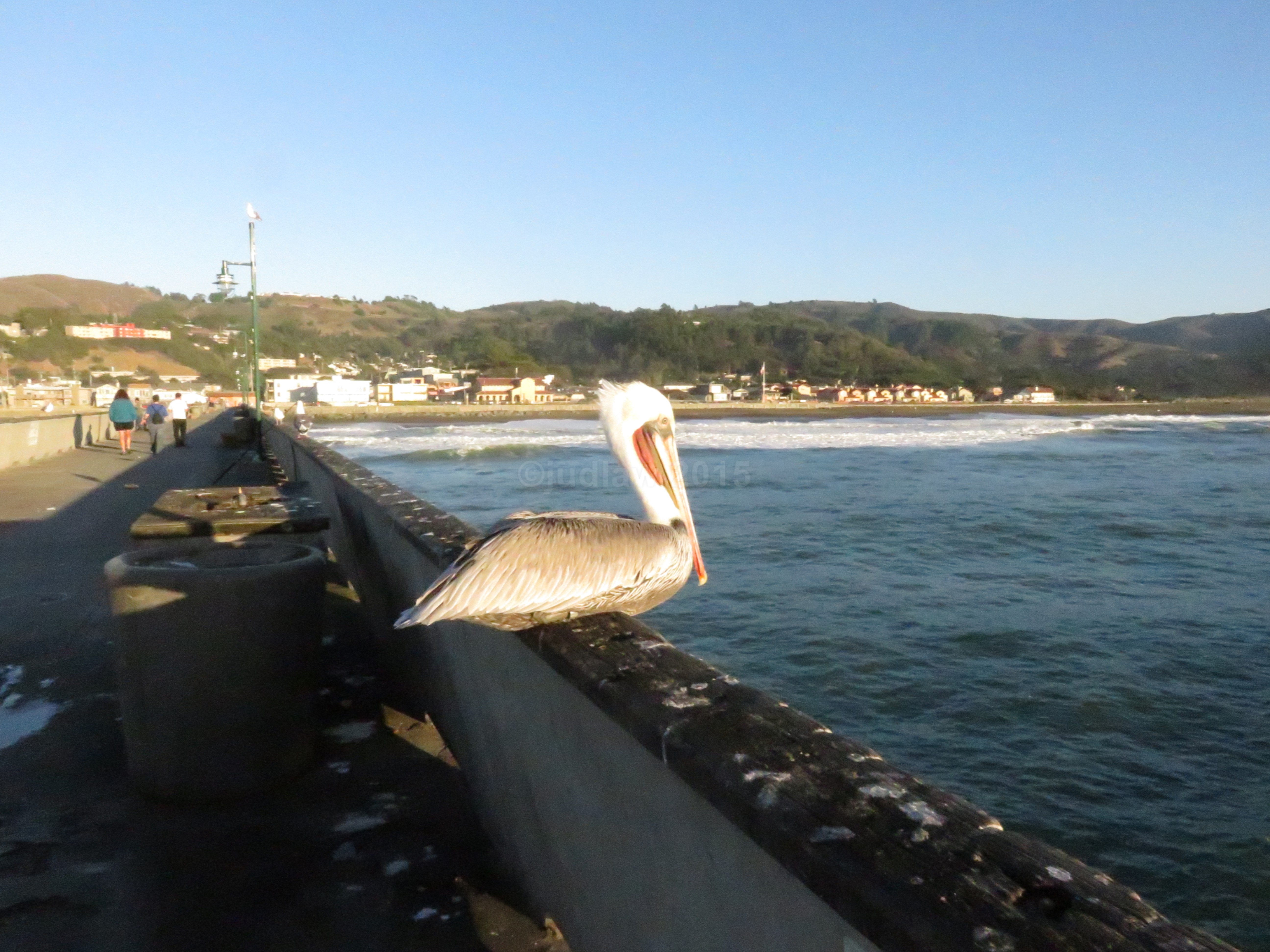
Recently, a young rider relatively new to Peterborough, suggested I do a post about some of our favourite rides around our home area of Peterborough, Ontario. I’ve been debating about the best way to do this. I started out by making a list, always popular, but difficult for my style of writing. Since I have written about many of our tours over the years, some in blog posts, some published in magazines, some still sitting on my computer, I’ve decided to share these with you, in a series.
A version of this first one was published in the June, 2007 issue of Canadian Biker Magazine under the heading Lock to Lake.
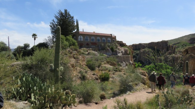
Come for a Ride in Peterborough and the Kawarthas
One great thing about Peterborough is that there are lots of great roads to ride.
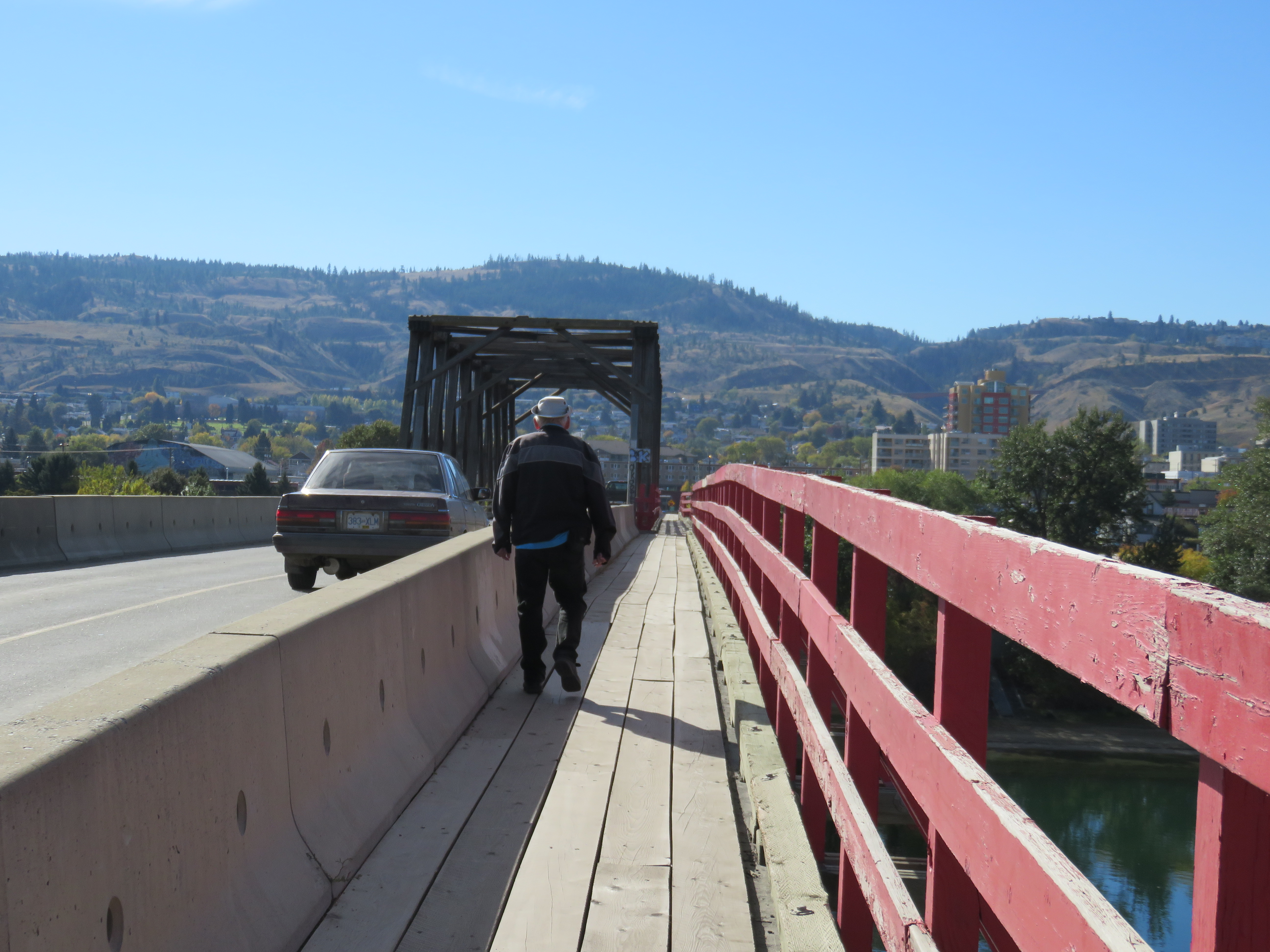
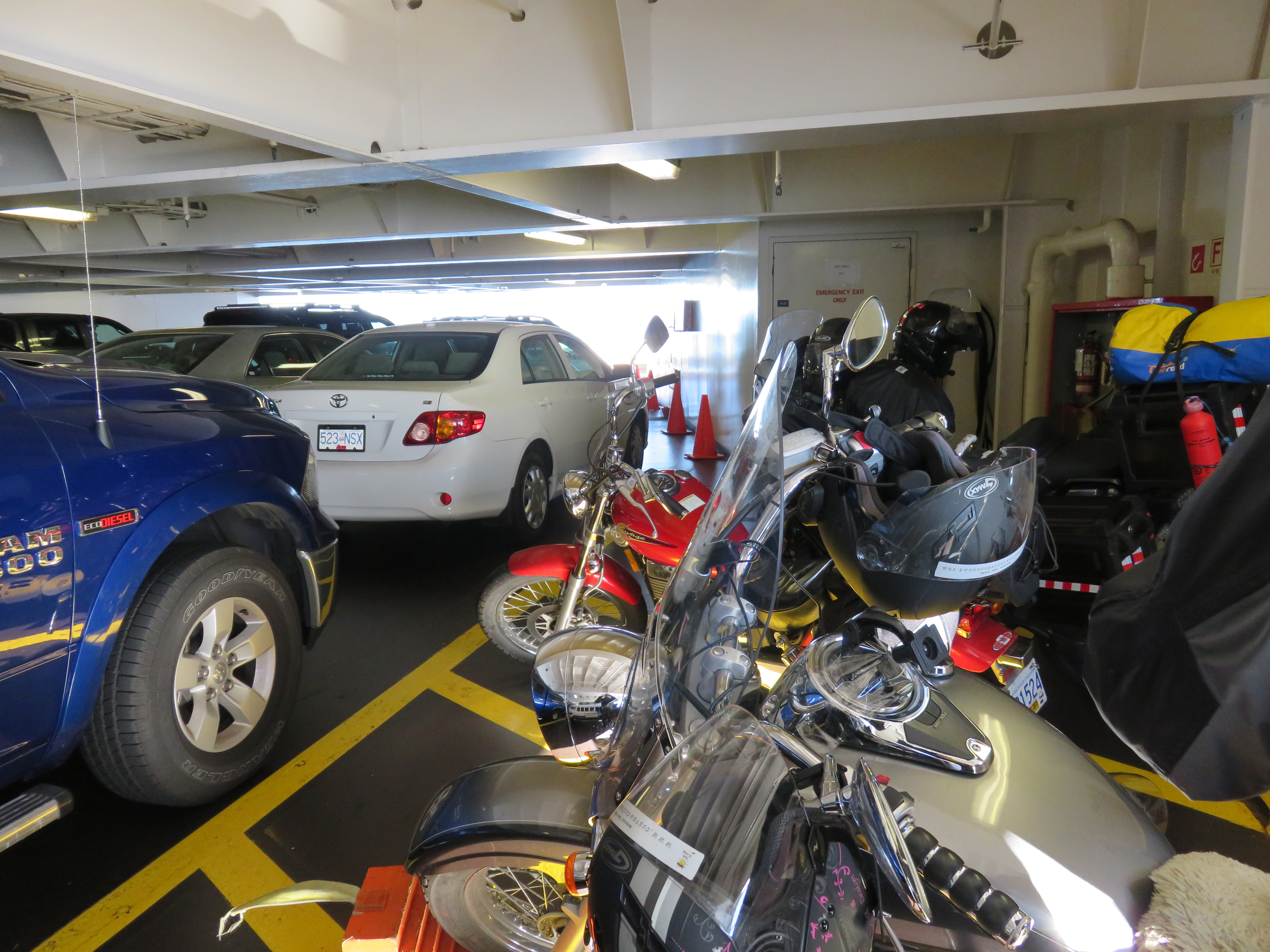
It was the regular Every-Second-Tuesday Ride Night for the Peterborough Tour Riders. Our small group of six bikes left the parking lot of the Peterborough Zoo on Water Street, the usual meeting place, and then turned right onto Nassau Mills Road, crossing the concrete bridge that spans the Trent Canal. If we’d continued on this road, it would have taken us through Trent University campus, along the scenic Otonabee River, past four historical Trent Canal locks, and into Lakefield for a mandatory ice cream cone at Hamblin’s Ice Cream Parlour. That is one of our favourite shorter trips.

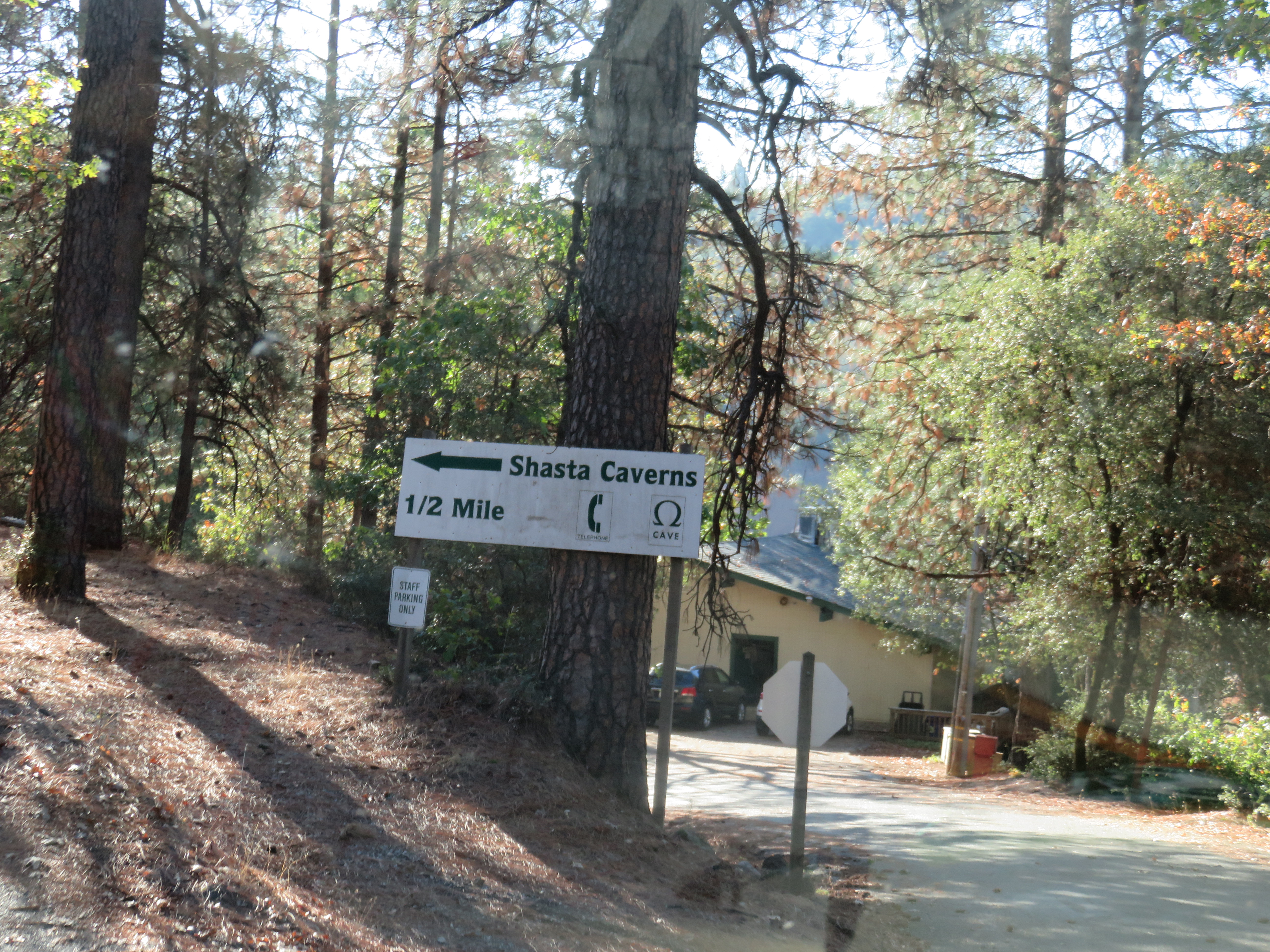
This time, however, we took another right hand turn onto University Road, still part of University property, but as yet undeveloped. It’s a two-lane, tree-lined road with several abandoned houses that have been bought by the University. You have to remember that Peterborough is a small city, and after a five-minute ride we were “in the country” enjoying the quiet roads with their many hills and bends. At county Road 4 we turned left into the tiny town of Warsaw, and then onto Caves Road, which led us past Warsaw Caves Conservation Area (one of many tourist attractions in the area).


We crossed over the Indian River, a narrow but clear waterway that flows gently under the wooden bridge.

A few more turns took us onto County Rd. 6, which later became 44. A sign at the beginning of the road warned us that we’d experience six kilometers of twisty road, and indeed we did.
The road snaked between tall maple trees and past an old log house, now covered in a plastic cocoon. An old man dressed in denim overalls and a plaid shirt sat in a chair by the door. It wasn’t a road that could be traveled in haste, for many turns were so sharp that it was impossible to even glimpse what might be around the bend. Some corners were banked and the shoulders were narrow, all of which added to the excitement of the ride.


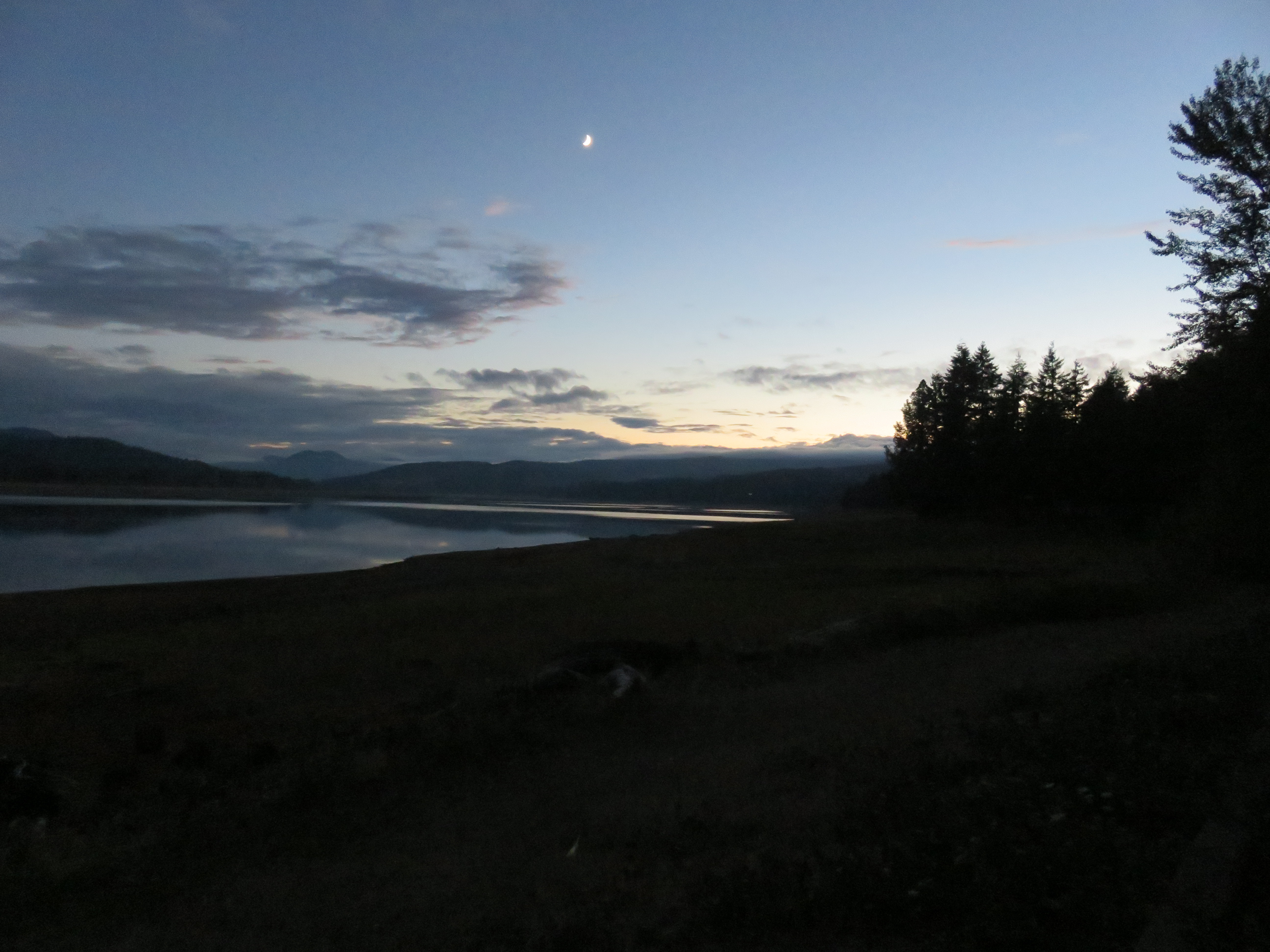
At the junction of County Rd. 46, we turned right and headed into Havelock, home of the annual Havelock Country Jamboree, which has been nominated several times as one of the top five County Music Festivals in Canada. County Rd. 46 became County Road 30 and we soon entered another little town, aptly named Trent River, after the river that flows through it. As we crossed the newly reconstructed bridge over the river, the setting sun created splashes of salmon-red in the sky. They hung over the treetops and reflected off the pale blue of the river.


Heading south, just before reaching Campbellford, we took another right hand turn onto County Rd. 35 towards Hastings. Within a few kilometers we discovered the bridge was out and we were forced to take a detour onto Godolphin Rd., which runs along the tops of many eskers. Around us, wheat fields caught in the evening light looked like stretches of golden sand. This scenic road took us into the town of Warkworth. From there we headed north again on County Rd. 25 and then west onto County Rd. 24, which led us into the rustic little hamlet of Dartford.
Jim said,” Watch on your right at the bottom of the hill. There’s a neat old building with an old working water mill.”
When we rounded the bend, we were disappointed to see yellow police tape around the perimeters of the property, and the clapboard house blackened with remnants of a fire.
We traveled on, through the town of Roseneath, locally known for its covered carousel, then south once more onto Hwy 45, through the First Nations Reserve of Alderville.


We then turned west onto County Rd. 18, past a Llama farm, and through Harwood to Gore’s Landing, a popular cottage and fishing resort area. At the top of the hill we turned right onto Lander Rd, which took us along a high cliff overlooking Rice Lake. By now there was just enough light remaining in the sky to cast shimmering shadows over the glassy water. A few more twists and turns brought us onto Cavan Road and into the lakeside community of Bewdley and to the Rhino Roadhouse. Here we indulged in some culinary treats and liquid refreshments, before striking out for home, along a much shorter and more direct route, up Hwy 7A. We’d covered 150 kilometers that night, more than usual, but it was a beautiful night for a ride.